Imagery
Every frame the harness can run against, grouped by where its truth comes from. Ground sample distance is stated per image because it, not model choice, sets the ceiling on what can be counted.
Synthetic ladder (exact ground truth)
The ladder exists because no dataset on earth gives us both 10–30 mm Central Otago annuals and perfect truth. Each scene is manufactured at a known ground sample distance — 0.5, 1, 2, 4 and 8 mm/px, scattered and dense at every rung — so recall can be plotted against millimetres-per-pixel instead of guessed at. Every plant position is exact by construction, and every scene is seeded with hard negatives (schist flecks, lichen, droppings) that a detector must not count. When a model looks good here and bad in the field, the ladder tells you which rung it failed on.
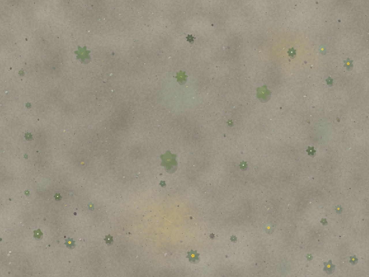
synth-ladder-0p5-scattered
- GSD
- 0.50 mm/px
- Altitude
- 1.9 m AGL
CC0 (generated) — Synthetic scene — EmerTech generator · DJI Mavic 3E — wide
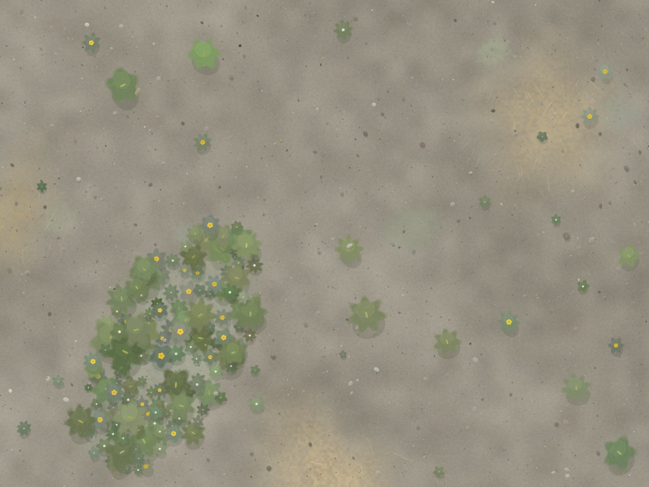
synth-ladder-0p5-dense
- GSD
- 0.50 mm/px
- Altitude
- 1.9 m AGL
CC0 (generated) — Synthetic scene — EmerTech generator · DJI Mavic 3E — wide
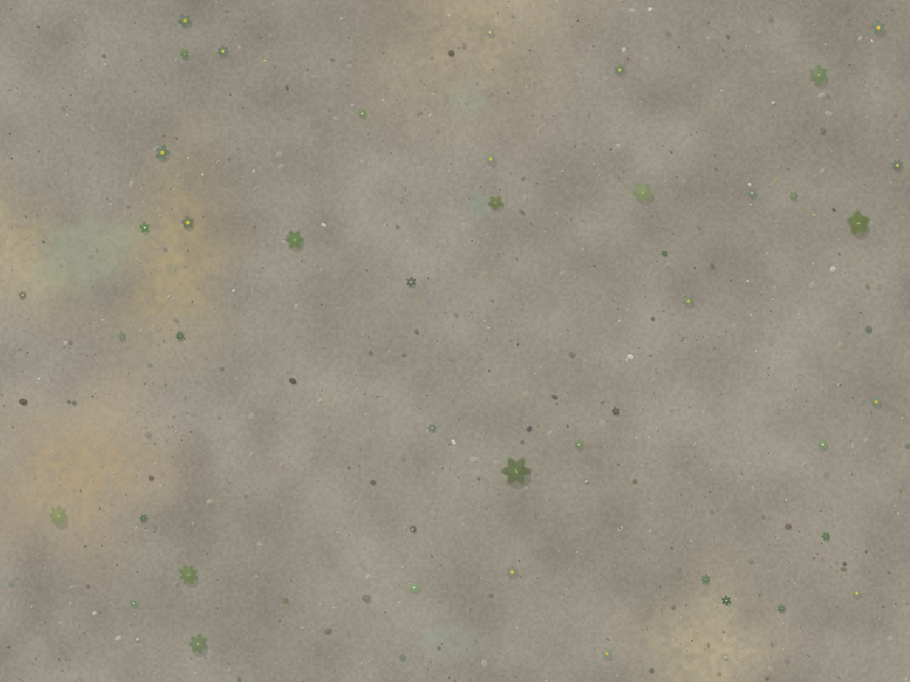
synth-ladder-1-scattered
- GSD
- 1.00 mm/px
- Altitude
- 3.7 m AGL
CC0 (generated) — Synthetic scene — EmerTech generator · DJI Mavic 3E — wide
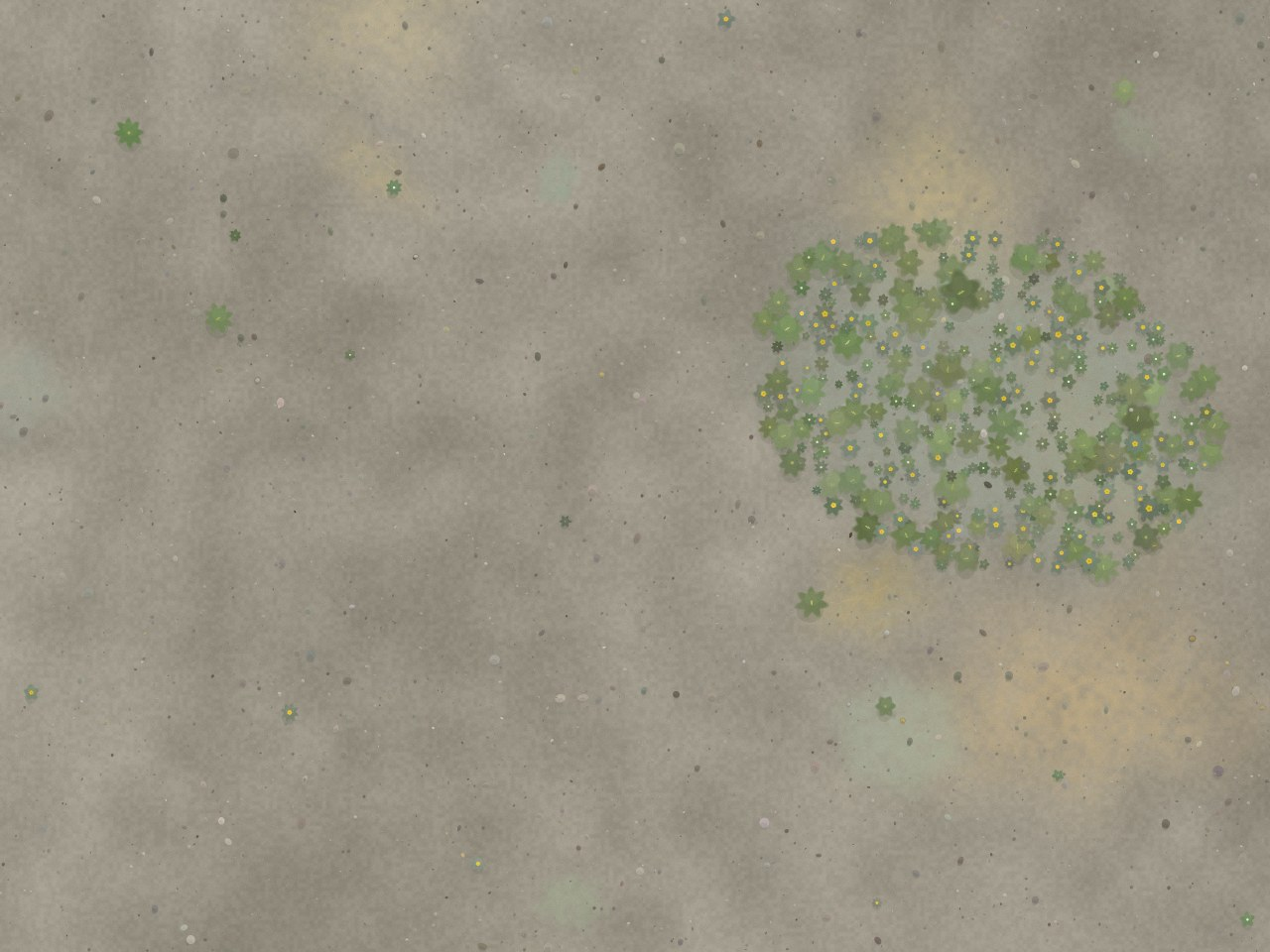
synth-ladder-1-dense
- GSD
- 1.00 mm/px
- Altitude
- 3.7 m AGL
CC0 (generated) — Synthetic scene — EmerTech generator · DJI Mavic 3E — wide
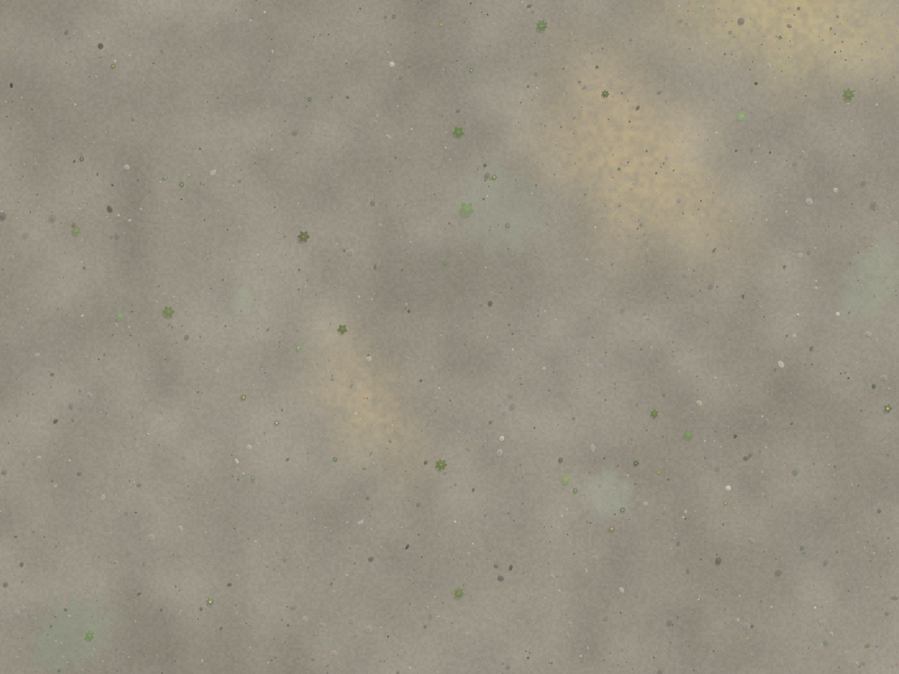
synth-ladder-2-scattered
- GSD
- 2.00 mm/px
- Altitude
- 7.5 m AGL
CC0 (generated) — Synthetic scene — EmerTech generator · DJI Mavic 3E — wide
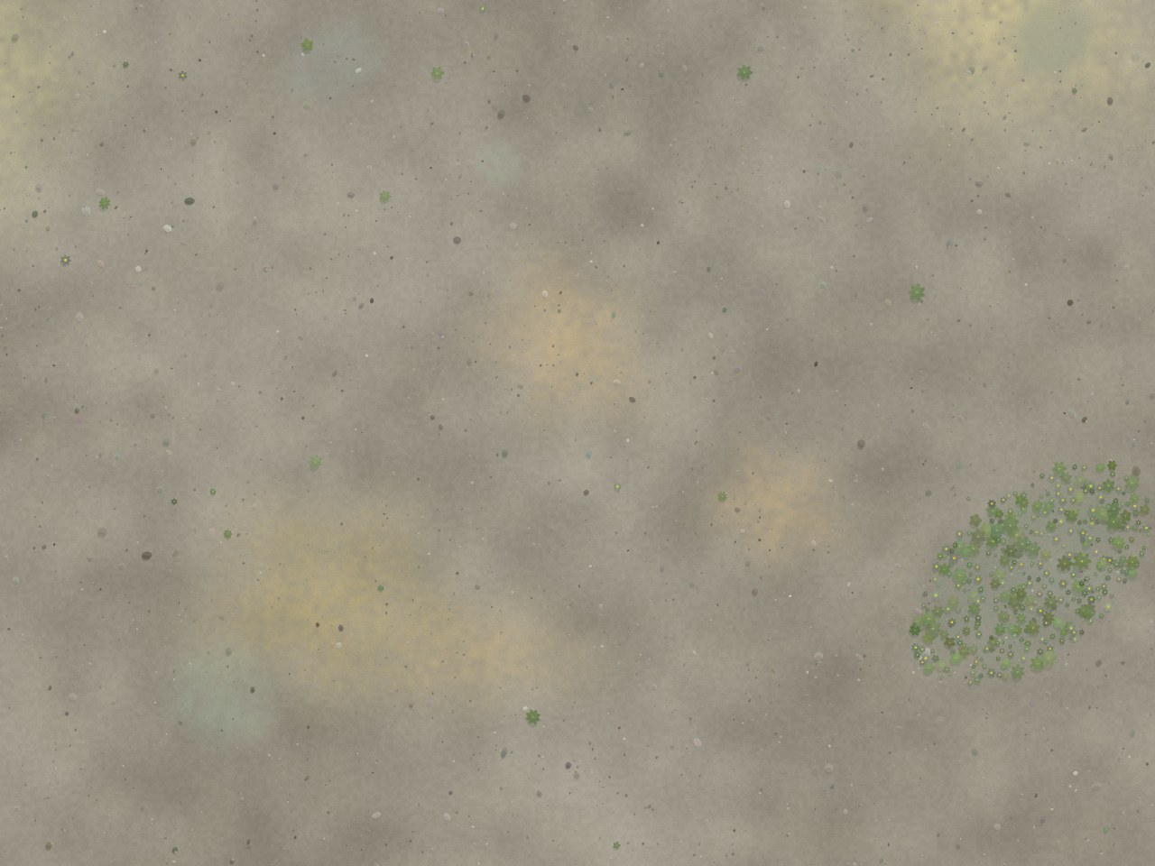
synth-ladder-2-dense
- GSD
- 2.00 mm/px
- Altitude
- 7.5 m AGL
CC0 (generated) — Synthetic scene — EmerTech generator · DJI Mavic 3E — wide
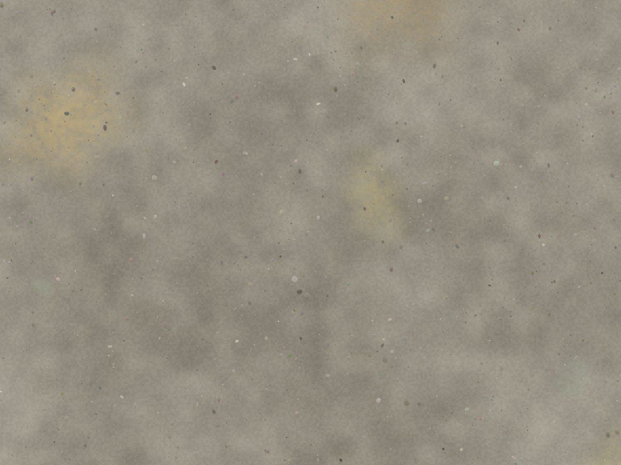
synth-ladder-4-scattered
- GSD
- 4.00 mm/px
- Altitude
- 15 m AGL
CC0 (generated) — Synthetic scene — EmerTech generator · DJI Mavic 3E — wide
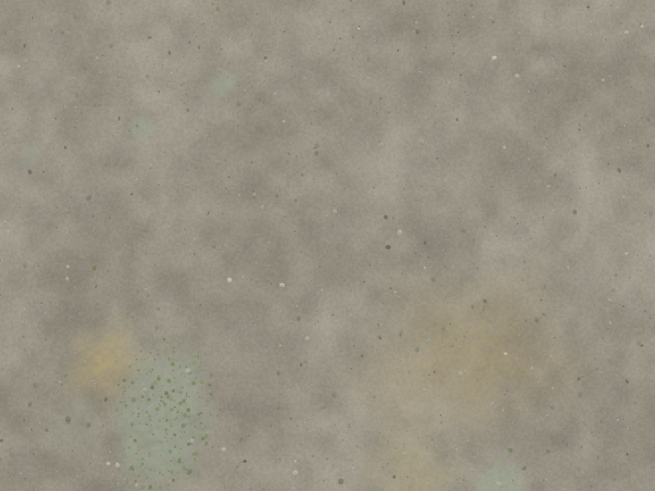
synth-ladder-4-dense
- GSD
- 4.00 mm/px
- Altitude
- 15 m AGL
CC0 (generated) — Synthetic scene — EmerTech generator · DJI Mavic 3E — wide
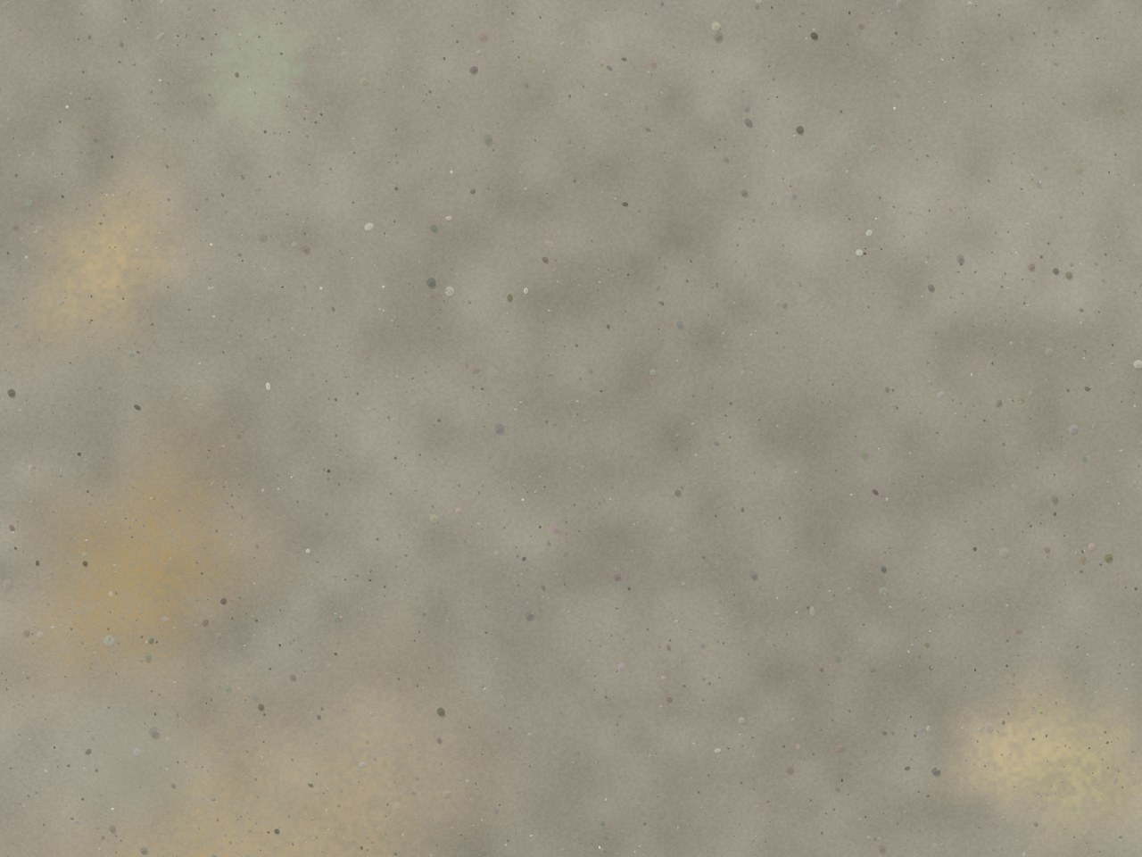
synth-ladder-8-scattered
- GSD
- 8.00 mm/px
- Altitude
- 30 m AGL
CC0 (generated) — Synthetic scene — EmerTech generator · DJI Mavic 3E — wide
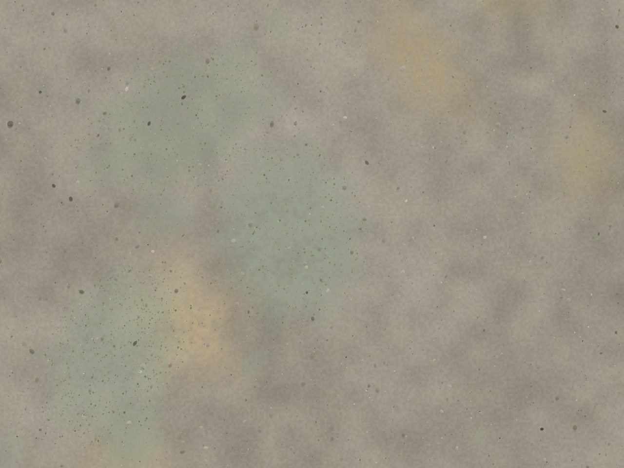
synth-ladder-8-dense
- GSD
- 8.00 mm/px
- Altitude
- 30 m AGL
CC0 (generated) — Synthetic scene — EmerTech generator · DJI Mavic 3E — wide
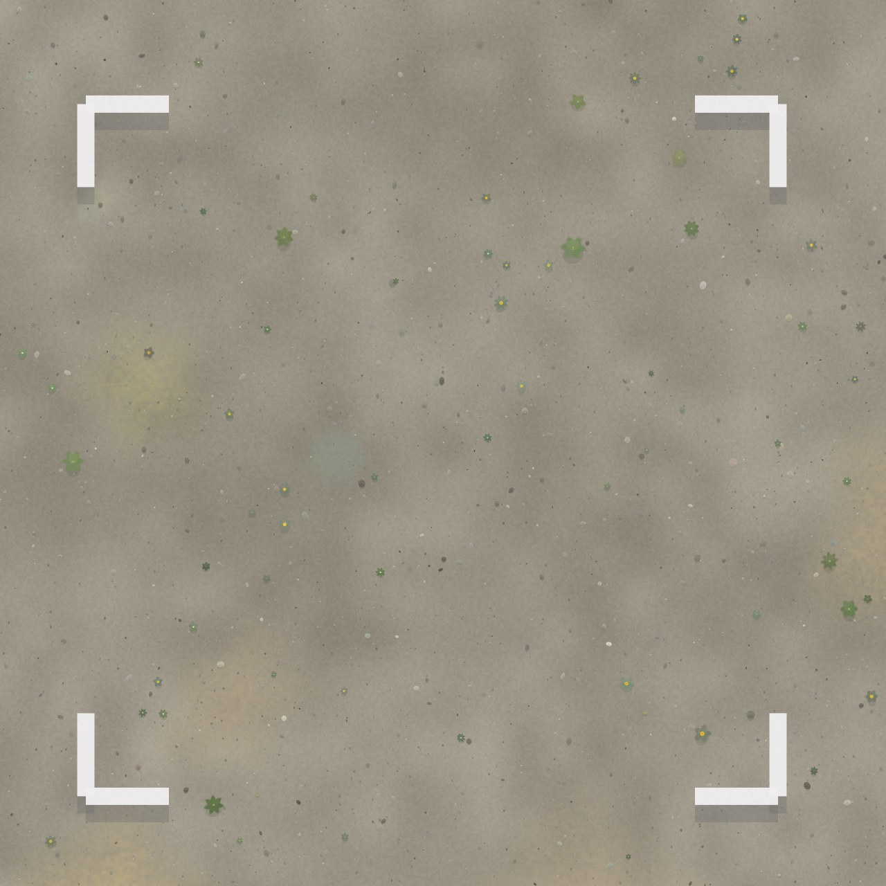
synth-quadrat-1m-plants
- GSD
- 1.00 mm/px
- Altitude
- 3.7 m AGL
CC0 (generated) — Synthetic scene — EmerTech generator · DJI Mavic 3E — wide
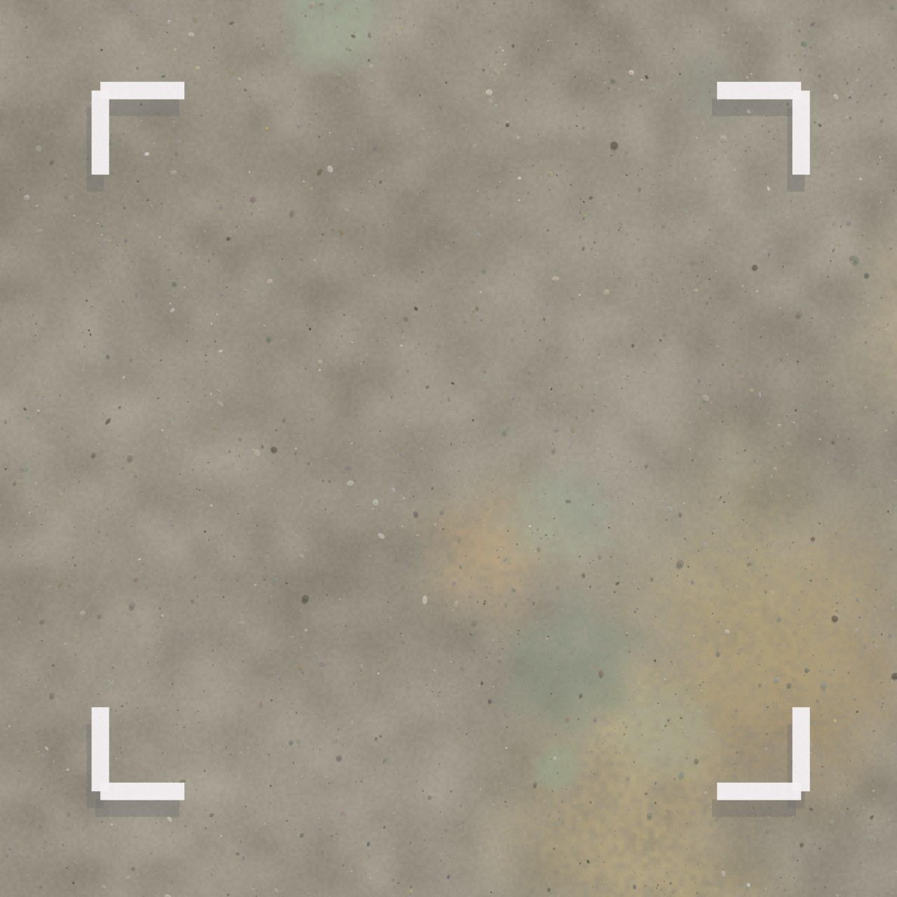
synth-quadrat-1m-zero
- GSD
- 1.00 mm/px
- Altitude
- 3.7 m AGL
CC0 (generated) — Synthetic scene — EmerTech generator · DJI Mavic 3E — wide
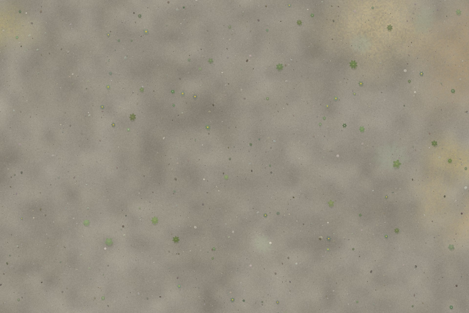
synth-hero-1mm-scattered
- GSD
- 1.00 mm/px
- Altitude
- 3.7 m AGL
CC0 (generated) — Synthetic scene — EmerTech generator · DJI Mavic 3E — wide
Real UAV frames (CoFly-WeedDB, CC BY 4.0)
Eight frames from CoFly-WeedDB — real DJI Phantom 4 Pro imagery flown at 4.9 m over a cotton field near Larissa, Greece (Krestenitis et al., CC BY 4.0). They are not Central Otago and they are not the target species. They are here as a real-sensor annotation playground: genuine motion blur, JPEG artefacts, shadow and soil clutter that no generator reproduces honestly. They ship with no ground truth — truth on these frames only exists once a human draws it in the workbench.
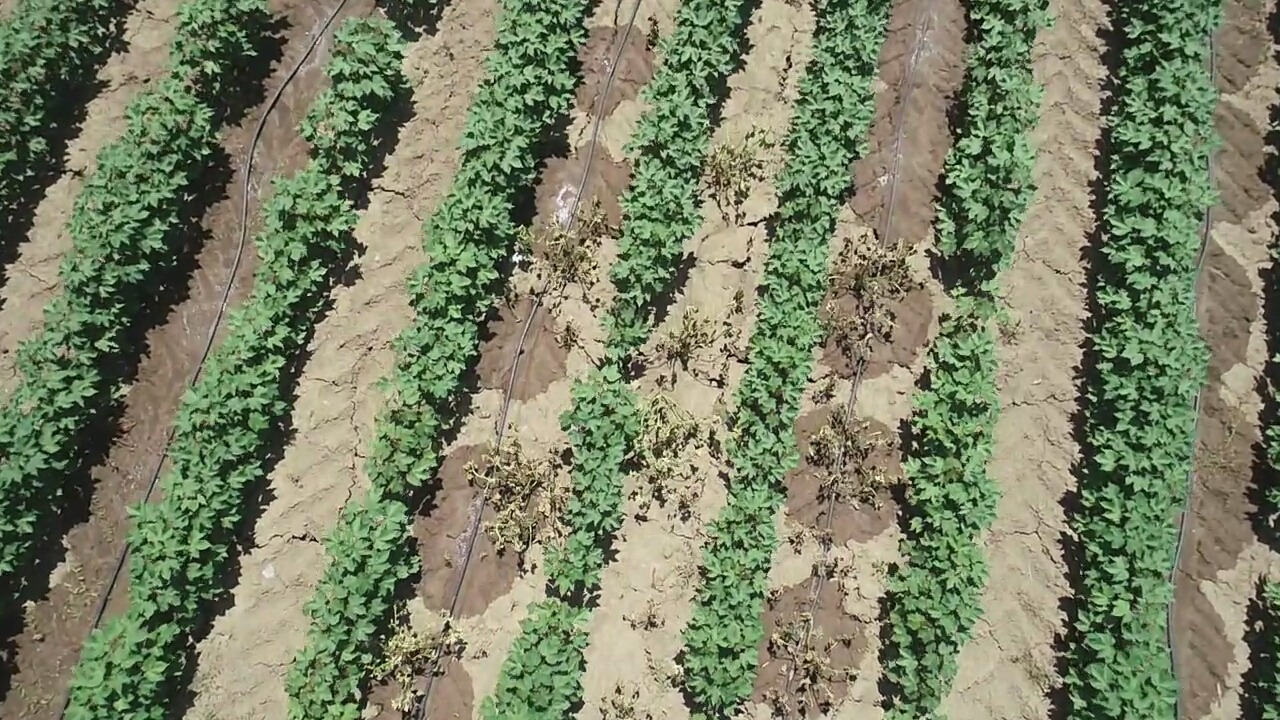
- GSD
- 5.74 mm/px
- Altitude
- 4.9 m AGL
CC BY 4.0 — CoFly-WeedDB (Krestenitis et al.), DJI Phantom 4 Pro over cotton field, Larissa, Greece — zenodo.org/records/6697343
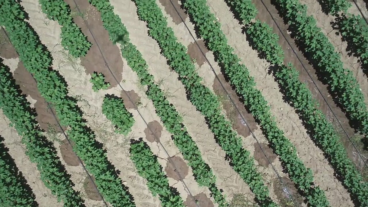
- GSD
- 5.74 mm/px
- Altitude
- 4.9 m AGL
CC BY 4.0 — CoFly-WeedDB (Krestenitis et al.), DJI Phantom 4 Pro over cotton field, Larissa, Greece — zenodo.org/records/6697343
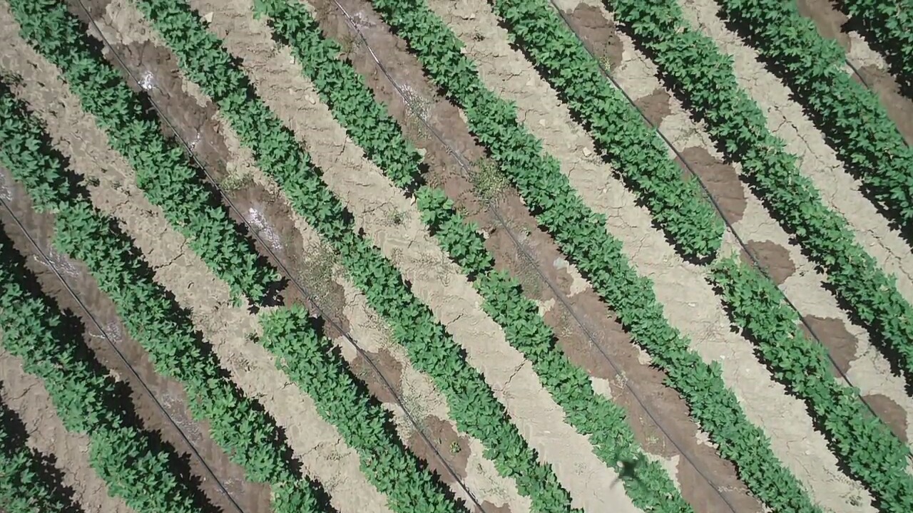
- GSD
- 5.74 mm/px
- Altitude
- 4.9 m AGL
CC BY 4.0 — CoFly-WeedDB (Krestenitis et al.), DJI Phantom 4 Pro over cotton field, Larissa, Greece — zenodo.org/records/6697343
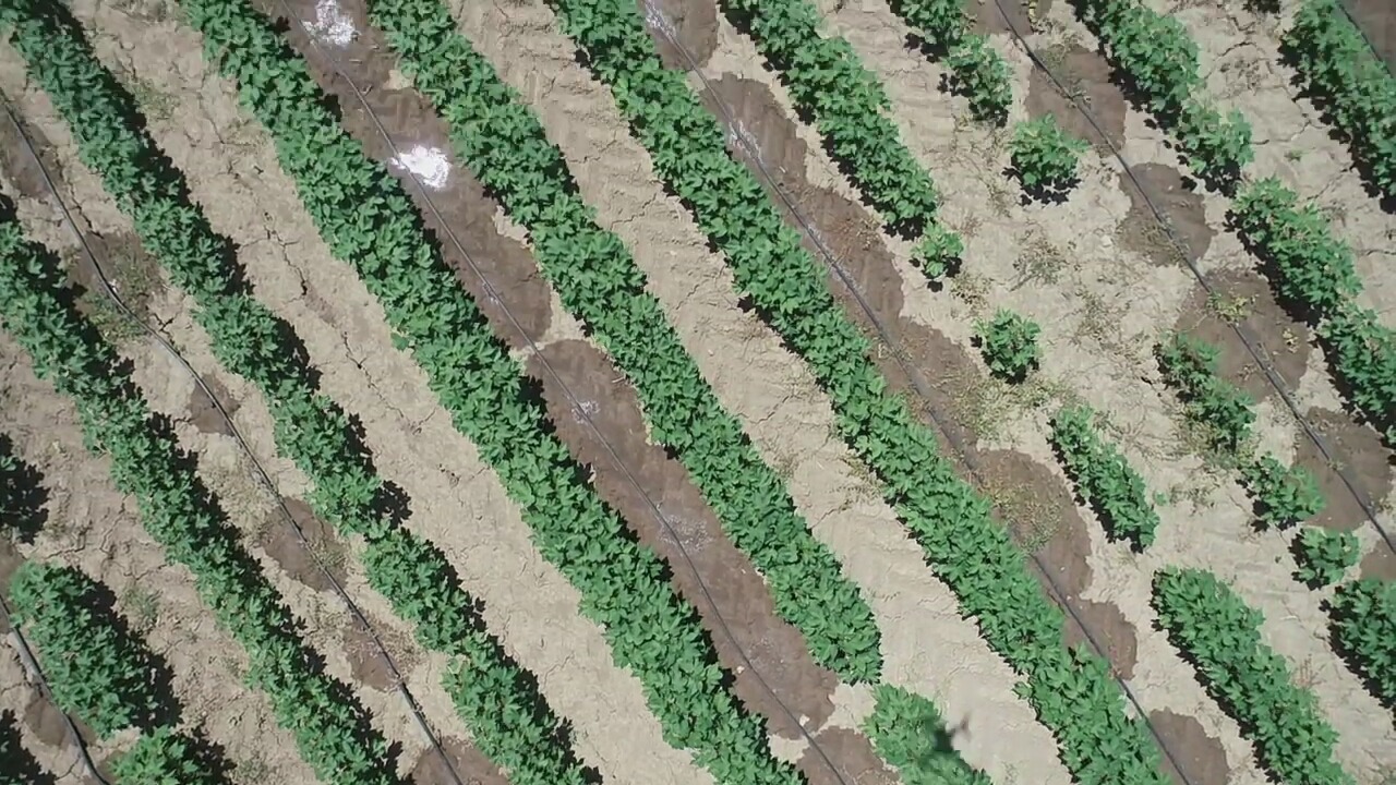
- GSD
- 5.74 mm/px
- Altitude
- 4.9 m AGL
CC BY 4.0 — CoFly-WeedDB (Krestenitis et al.), DJI Phantom 4 Pro over cotton field, Larissa, Greece — zenodo.org/records/6697343
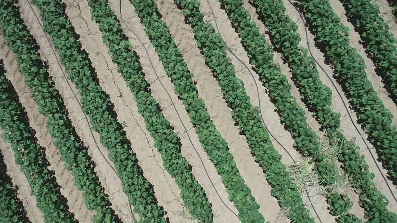
- GSD
- 5.74 mm/px
- Altitude
- 4.9 m AGL
CC BY 4.0 — CoFly-WeedDB (Krestenitis et al.), DJI Phantom 4 Pro over cotton field, Larissa, Greece — zenodo.org/records/6697343
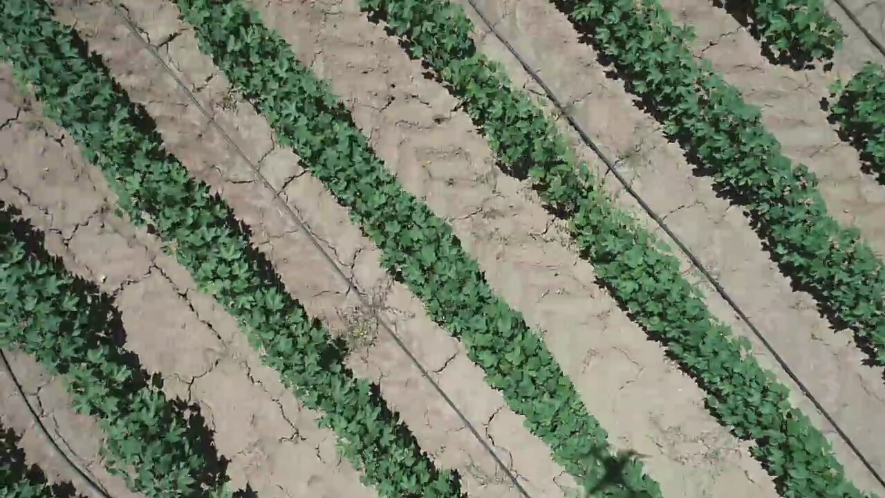
- GSD
- 5.74 mm/px
- Altitude
- 4.9 m AGL
CC BY 4.0 — CoFly-WeedDB (Krestenitis et al.), DJI Phantom 4 Pro over cotton field, Larissa, Greece — zenodo.org/records/6697343
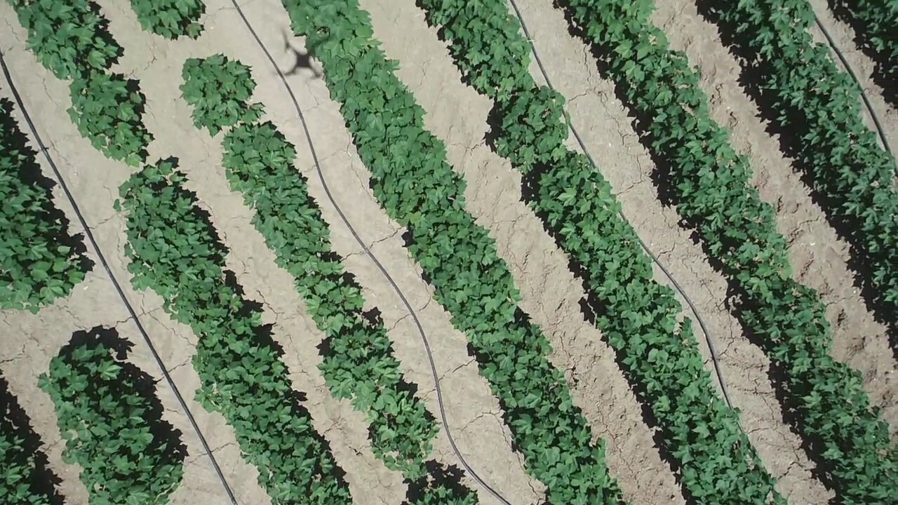
- GSD
- 5.74 mm/px
- Altitude
- 4.9 m AGL
CC BY 4.0 — CoFly-WeedDB (Krestenitis et al.), DJI Phantom 4 Pro over cotton field, Larissa, Greece — zenodo.org/records/6697343
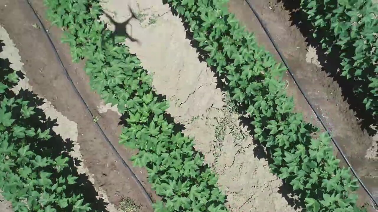
- GSD
- 5.74 mm/px
- Altitude
- 4.9 m AGL
CC BY 4.0 — CoFly-WeedDB (Krestenitis et al.), DJI Phantom 4 Pro over cotton field, Larissa, Greece — zenodo.org/records/6697343
Uploads
Frames added in this session. Give one a camera and an altitude and it joins the physics — GSD, pixel budget and detectability verdict computed the same way as every seeded frame.
Add a frame
JPEG or PNG, up to 8 MB. Dimensions are measured server-side, so the stored size is the real one.